top of page
HADJM_FR
REMOTE SENSING WORKSHOP
RUN BY: SIMON WITHERS
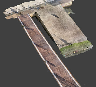
This workshop was an introduction to Remote Sensing by using Photogrammetry, one of several Remote Sensing technologies that include; 3D Scanning - LiDAR or SLAM scanning both terrestrial and aerial, terrestrial and aerial Photogrammetry, Ground Penetrating Radar and SONAR.


SITE VISIT SCANNINGS


bottom of page